

3D Machine Control
Full 3D Grade Guidance. Every Cut. Every Pass.
Work smarter with a complete 3D machine control system designed for real-world job sites. Increase productivity, improve accuracy and take on more complex projects with confidence.
What is 3D Machine Control?
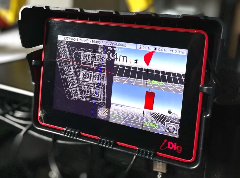
3D machine control combines GPS/GNSS satellite positioning with a digital design model of your project to give operators real-time, three-dimensional guidance. The system knows exactly where the bucket or blade is in space — horizontally and vertically — and compares that position to the design surface continuously.
Unlike 2D systems that guide to a single slope or depth, 3D control handles complex surfaces: curved roads, multi-slope pads, retention ponds, and intricate site designs. The operator sees a color-coded cut/fill map on the in-cab display and can work to design without a single stake in the ground.
REAL-TIME
3D GUIDANCE
HIGHER
ACCURACY
MORE
PRODUCTIVITY
COMPLEX
TERRAIN READY
Product Brochures & Spec Sheets
Download or view our product documentation to find the right iDig 3D machine control system for your fleet.
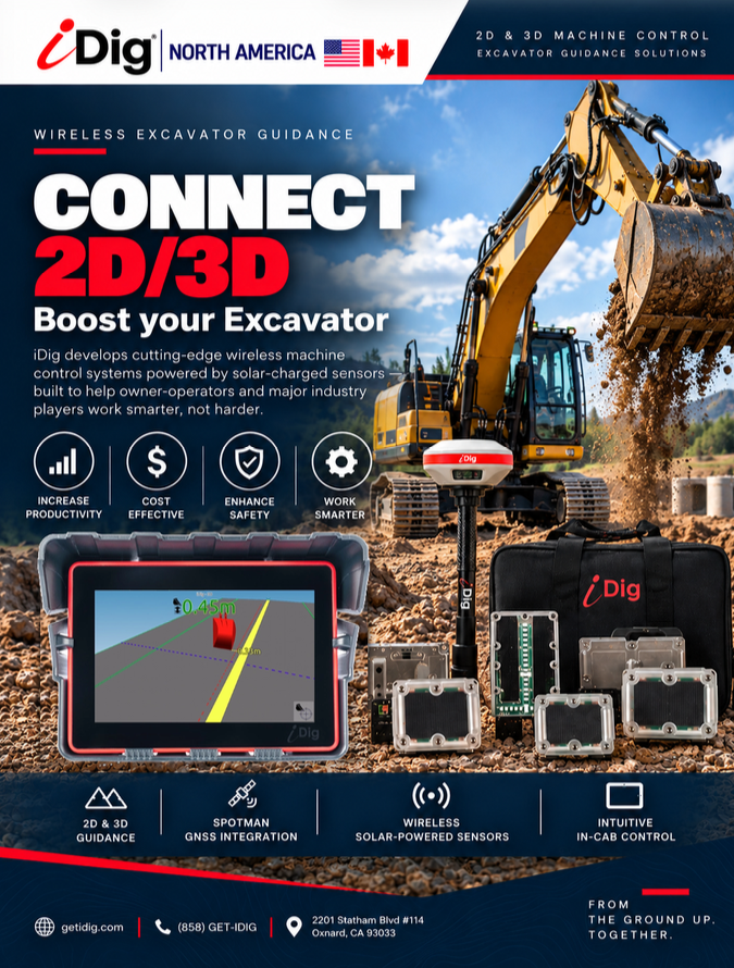
CONNECT 2D/3D Brochure
Full product brochure for the iDig CONNECT 2D/3D — wireless, solar-powered machine control with seamless 2D and full 3D GNSS guidance in one system.
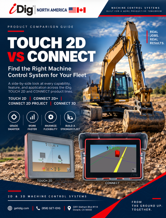
TOUCH 2D vs CONNECT
A side-by-side look at every capability, feature, and application across the iDig TOUCH 2D and CONNECT product lines.
Real advantages
Why Upgrade to 3D
3D vs. 2D — When to Go Full 3D
Complex Surface Designs
Multi-slope pads, curved alignments, retention basins, and any surface that changes grade in multiple directions simultaneously require 3D positioning.
Large-Scale Earthworks
On highway, subdivision, and commercial site projects where thousands of cubic yards must be moved to precise design elevations, 3D control pays for itself quickly.
Tight Tolerances
When specifications call for sub-inch accuracy across the entire work area — not just at check points — 3D GPS/GNSS is the only reliable solution.
Reduced Survey Costs
Eliminate the need for surveyors to re-stake after each pass. The machine always knows where it is relative to design, so work continues uninterrupted.
What's included
System Capabilities
Digital Terrain Model Import
Import LandXML, DXF, and other standard design formats directly. No proprietary conversions — bring your design files straight from the office.
RTK & Network RTK
Connect to your own base station or a regional correction network for maximum flexibility and consistent centimeter-level accuracy across large sites.
Multi-Machine Coordination
Multiple machines on the same site share the same design model and as-built data, keeping the entire fleet working toward the same finished surface.
Get started
See 3D Machine Control in Action
Request a live demonstration with your equipment and your design files — our team will show you exactly what 3D control can do on your next project.
Related resources
Comparing your options? 2D vs. 3D machine control — which system is right for your jobsite.
Starting with 2D? Learn about iDig 2D machine control systems.