

GNSS / GPS
Precision Positioning for a More Productive Job Site
Get the positioning accuracy you need to work faster and with confidence. iDig GNSS solutions deliver precise, real-time positioning for machine control, site layout, grading and construction workflows.
The Technology
What is GNSS / GPS?
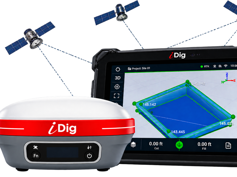
GNSS (Global Navigation Satellite System) uses a network of satellites to deliver precise positioning data anywhere on the job site.
With RTK corrections, GNSS technology can provide centimeter-level positioning, helping contractors work faster, reduce rework and get the job done right.
iDig integrates powerful GNSS technology into machine-control and construction-positioning solutions designed for real-world job-site use.
Accuracy
Work
Faster
Reduce
Rework
Get the Job
Done Right
Product Brochures & Spec Sheets
Download or view our product documentation to find the right iDig GNSS and machine control system for your job site.
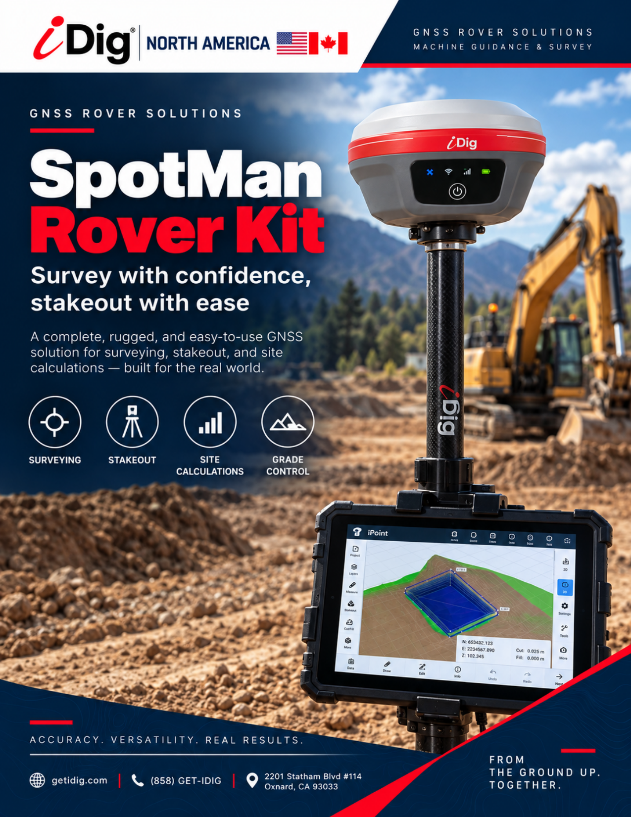
SpotMan Rover Kit Brochure
Full product brochure for the iDig SpotMan Rover Kit — a rugged, field-ready GNSS solution for precision surveying, stakeout, site calculations and grade control.

TOUCH 2D vs CONNECT
A side-by-side look at every capability, feature, and application across the iDig TOUCH 2D and CONNECT product lines.
Real Advantages
Why Contractors Use GNSS / GPS
Higher Accuracy
Complete projects on spec the first time.
Lower Costs
Reduce rework, material waste and downtime.
Save Time
Get to grade faster and keep jobs moving.
Flexible Solutions
Works for machines, rover setups and site-layout applications.
Applications
Built for Real Job Sites

Excavation & Grading
Precise bucket and blade positioning for excavation, grading and earthwork on any job site.
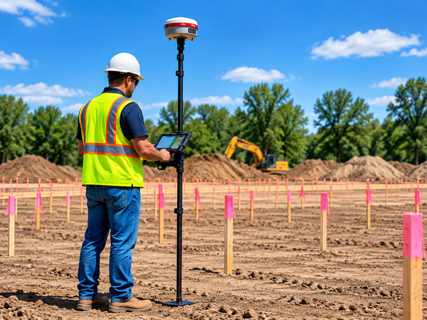
Site Layout
Stake-free layout for foundations, utilities, roads and structures using GNSS rover positioning.

Earthwork & Volumes
Track cut and fill volumes in real time to reduce over-excavation and material waste.
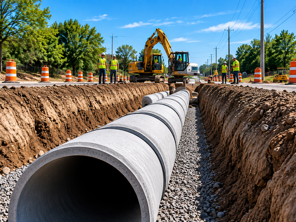
Infrastructure
Road, highway and civil infrastructure projects where precision and efficiency are critical.
System Capabilities
Designed for How You Work
Multi-Constellation
GPS, GLONASS, Galileo and BeiDou support.
RTK Corrections
Centimeter-level accuracy with RTK.
Flexible Integration
Works with iDig 2D, 3D and other supported workflows.
Positioning & Layout
Point, line, area and design-based layout.
Powered By
iDig Systems
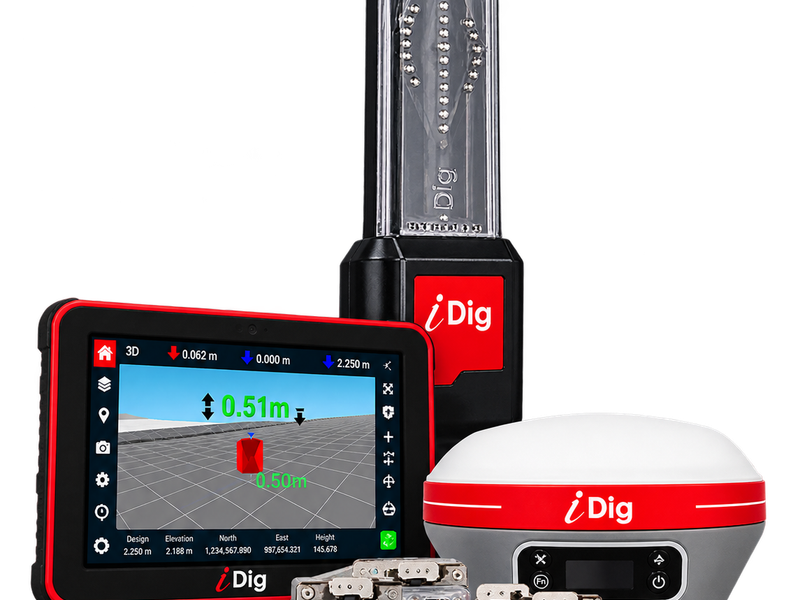
Precision GNSS technology built for the demands of modern construction. iDig combines accurate positioning, rugged field hardware and seamless machine-control integration to keep your job site connected, productive and on grade.
- Centimeter-Level Positioning Accuracy
- RTK & Network Correction Compatible
- Seamless Integration with iDig 2D & 3D
- Rugged Hardware Built for Construction
Get started
Ready to Improve Your Positioning Accuracy?
Talk to our team or find a dealer near you.
Related resource
Learn how GNSS technology is applied on active job sites: GNSS machine control for construction — a practical guide for contractors.